ArcGIS Online Map Provider
ArcGisMapProvider
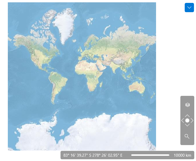
The ArcGIS online services can be used via the ArcGisMapProvider class. Currently the ArcGIS map provider support six modes which can be set using the Mode property:
- Aeral
- Physical
- Shaded Relief
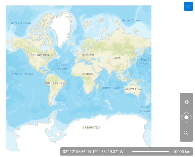
- Street
- Terrain
- Topographic
The Mode property specifies the appearance of the map.
The following example of the ArcGisMapProvider definition uses the Physical mode:
Example 1
<dataVisualization:RadMap x:Name="radMap" ZoomLevel="1">
    <dataVisualization:RadMap.Provider>
        <telerikMap:ArcGisMapProvider Mode="Physical" />
    </dataVisualization:RadMap.Provider>
</dataVisualization:RadMap>
Example 2
ArcGisMapProvider provider = new ArcGisMapProvider();
provider.Mode = ArcGisMapMode.Physical;
this.radMap.Provider = provider;

The following snapshot demonstrates the appearance of the map for the Street mode:

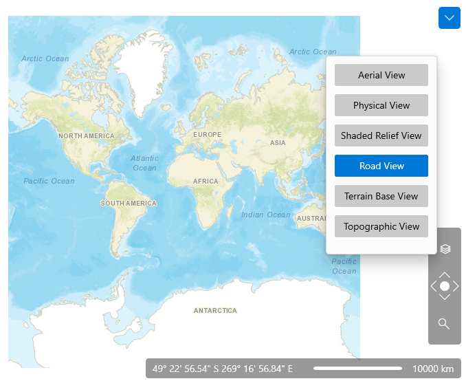
Also the ArcGisMapProvider allows the user to change the map mode using the Map View button of toolbar.
