Vector Tile Providers
The vector tile format allows you to store geospatial geometry data. This information can be combined with special styling data. The Telerik's vector tile provider read this information and based on it, renders tile images.
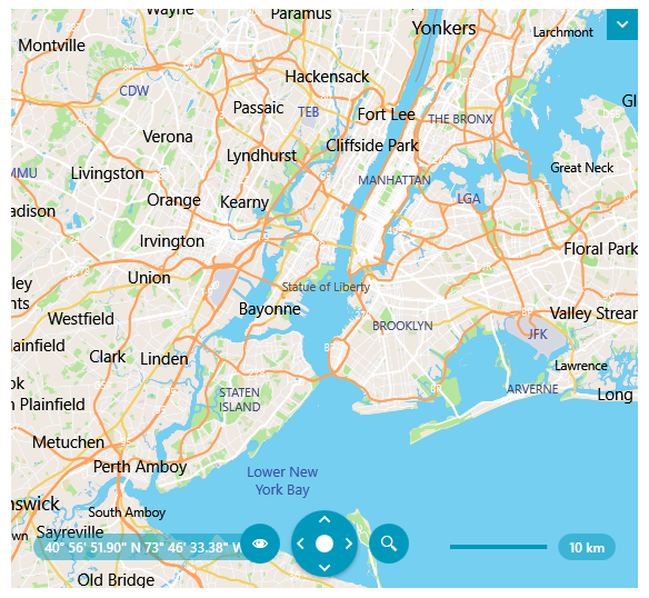
The vector tiles contain only geometry information that is loaded (or downloaded) on demand when the current viewport changes. The appearance of the geometry is defined in a separate style file. Combining this information, the provider prepares and renders visuals on the client. Compared to this, the raster-based providers, like AzureMapProvider, OpenStreetMapProvider or UriImageProvider, download a raster image from the associated server, which increases the network traffic.
The vector tile providers (
UriVectorTileMapProvider,MbTilesMapProviderandMapBoxMapProvider) work with the Newtonsoft.Json framework. To use the provider, add a reference to the corresponding .dll or install the nuget package.
Loading PBF or MVT Data
To load vector data, you should prepare or download a proper source with .Pbf or .Mvt files for the different viewport areas and zoom levels. The Pbf files contain the vector data. The appearance of the shapes is defined in a corresponding json style file. Telerik comes with a built-in style file that is automatically used by the provider, but this can be replaced with a custom style file.
This type of vector tile data is visualized with the UriVectorTileMapProvider. To assign the .Pbf/.Mvt source, set the UriTemplate property of UriVectorTileMapProvider. The .Pbf/.Mvt and style sources can be local paths or a URLs to an online service.
Defining UriVectorTileMapProvider
<telerik:RadMap>
    <telerik:RadMap.Provider>
        <telerik:UriVectorTileMapProvider UriTemplate="C:\MyMapResources\PbfFiles{x}-{y}-{level}.pbf"/>
    </telerik:RadMap.Provider>
</telerik:RadMap>
Loading MBTiles
To load vector data, you should prepare or download a proper .mbtiles source file, which contains the map's vector data. The appearance of the shapes is defined in a corresponding json style file. Telerik comes with a built-in style file that is automatically used by the provider, but this can be replaced with a custom style file.
This type of vector tile data is visualized with the MbTilesMapProvider. To assign the .mbtiles source, set the Source property of UriVectorTileMapProvider. The .mbtiles and style sources can be local paths or a URLs to an online service.
Defining MbTilesMapProvider
<telerik:RadMap>
    <telerik:RadMap.Provider>
        <telerik:MbTilesMapProvider Source="C:\MyMapResources\world.mbtiles"/>
    </telerik:RadMap.Provider>
</telerik:RadMap>
MbTilesProvider requires to add include an additional reference to the System.Data.SQLite.Core library. You can either, add a reference to the corresponding .dll or install the nuget package.
The MbTilesMapProvider doesn't support raster image files and SVG icons defined in the .mbtiles file.
Loading Custom Styles
To assign a custom style .json file, set the StyleFileSource property of UriVectorTileMapProvider.
Setting custom styles
<telerik:RadMap>
    <telerik:RadMap.Provider>
        <telerik:UriVectorTileMapProvider UriTemplate="C:\MyMapVectorResources\PbfFiles{x}-{y}-{level}.pbf"
                                          StyleFileSource="C:\MyMapVectorResources\Styles\custom-styles.json"/>
    </telerik:RadMap.Provider>
</telerik:RadMap>
.json style file for the vector tiles, here is a list of the layer properties supported by Telerik:
minzoom-
maxzoom -
layout
text-fieldtext-fonttext-max-widthtext-sizetext-transform-
visibility
-
paintbackground-colorfill-colorline-colorline-opacityline-widthtext-color
filter