WinForms Map Overview
RadMap can visualize tile data from the Bing Maps and the OpenStreetMaps REST services as well as from the local file system.
The Map is part of Telerik UI for WinForms, a
professional grade UI library with 160+ components for building modern and feature-rich applications. To try it out sign up for a free 30-day trial.
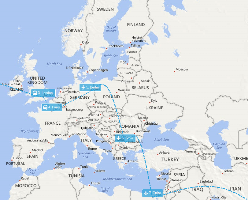
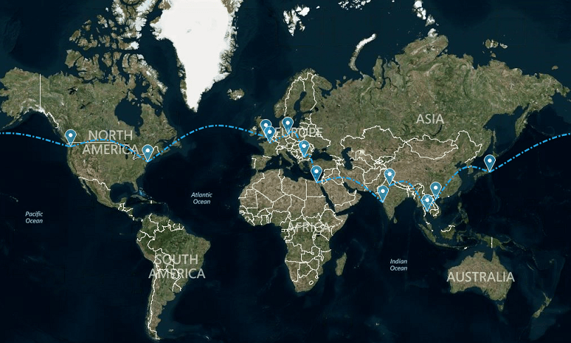
![]()
Key Features
Please note that Bing Maps will be deprecated effective June 30, 2025. As an alternative, users can refer to the SDK example available in our GitHub repository, which demonstrates how to create a custom provider using the Azure Maps API. A valid Azure Maps subscription key is required to use this functionality.
- Pan and Zoom
- Bing Maps and OpenStreetMaps imagery services
- Bing Maps Search, Route and Elevation services
- Layers
- Visualizes data from ESRI shapefiles, KML files and SQL Geospatial data
- Clusterization
- Colorization
- Navigation bar
- Search bar
- Scale indicator
- Mini map
- Legend
- Built-in pins, callouts, routes, air routes, labels, paths
RadMap control does not license right of use to any map provider. You must obtain and/or follow the licensing requirements set forth by each map provider.
Telerik UI for WinForms Learning Resources
- Telerik UI for WinForms Map Homepage
- Get Started with the Telerik UI for WinForms Map
- Telerik UI for WinForms API Reference
- Getting Started with Telerik UI for WinForms Components
- Telerik UI for WinForms Virtual Classroom (Training Courses for Registered Users)
- Telerik UI for WinForms Forum
- Telerik UI for WinForms Knowledge Base
Telerik UI for WinForms Additional Resources
- Telerik UI for WinForms Product Overview
- Telerik UI for WinForms Blog
- Telerik UI for WinForms Videos
- Telerik UI for WinForms Roadmap
- Telerik UI for WinForms Pricing
- Telerik UI for WinForms Code Library
- Telerik UI for WinForms Support
- What’s New in Telerik UI for WinForms