Imagery sets
Please note that Bing Maps will be deprecated effective June 30, 2025. As an alternative, users can refer to the SDK example available in our GitHub repository, which demonstrates how to create a custom provider using the Azure Maps API. A valid Azure Maps subscription key is required to use this functionality.
The Bind Maps Rest Provider imagery service supports different types of visualization. The possible imagery sets which can be used are:
- Aerial with Labels
- Aerial without Labels
- AerialOnDemand
- Road
- RoadOnDemand
- CanvasLight
- CanvasGray
- CanvasDark
To choose an imagery set, you can set the ImagerySet property of the BingRestMapProvider.
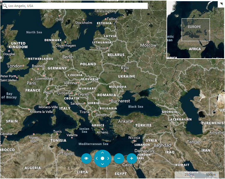
AerialWithLabels
This mode offers worldwide orthographic aerial and satellite imagery. The labels in this mode are enabled by default.
Figure 1: Aerial mode with labels
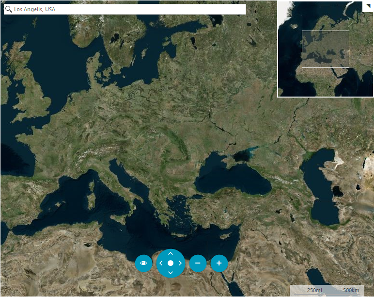
Aerial
Figure 2 is a snapshot of the Aerial mode for Bing Map Rest Provider when the labels are not visible.
Figure 2: Aerial mode without labels
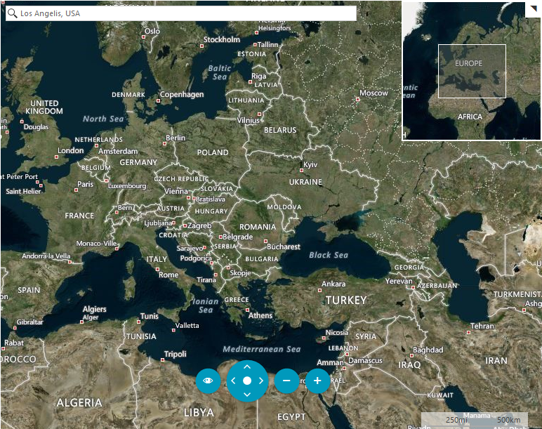
AerialWithLabelsOnDemand
This imagery set represent Aerial imagery with on-demand road overlay.
Figure 3: AerialOnDemand mode
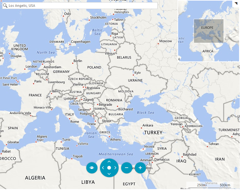
Road
The road imagery type is a set of static tile server. The tiles are generated ahead of time and then stored and served. For this mode the labels are displayed always. Figure 4 is an example of the Road Mode definition.
Figure 4: Road mode
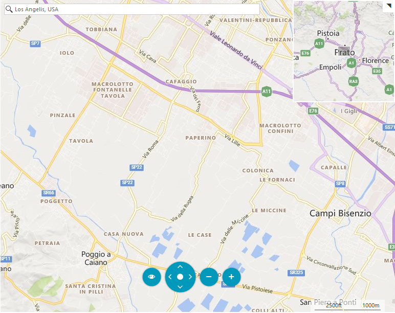
RoadOnDemand
The road on demand imagery type provides the same map tiles used in the latest Bing maps controls. These tiles are generated on the fly as needed and are the most up to date road maps.
Figure 5: RoadOnDemand mode
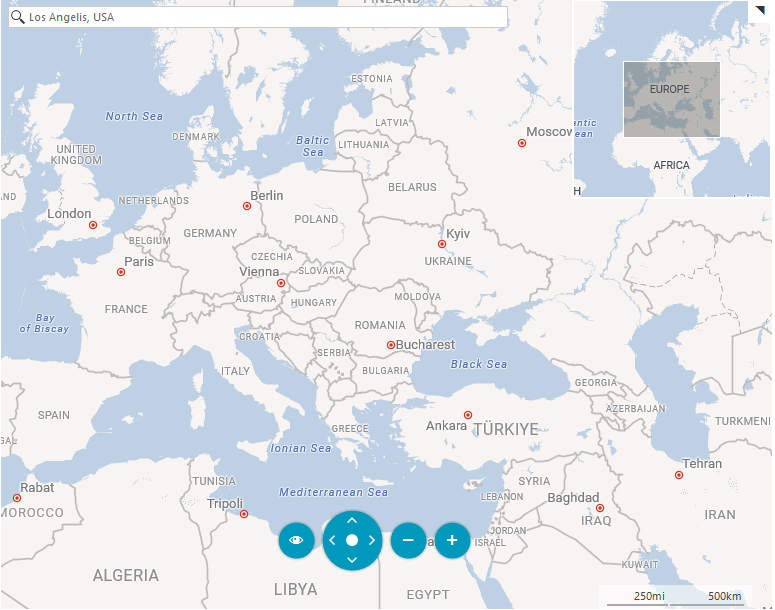
CanvasLight
A light version of the road maps which provides neutral background with minimal colors, labels and features.
Figure 6: CanvasLight mode
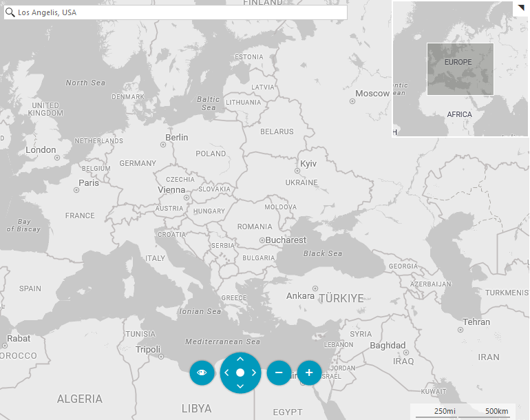
CanvasGray
A gray version of the road maps which provides neutral background with minimal colors, labels and features.
Figure 7: CanvasGray mode
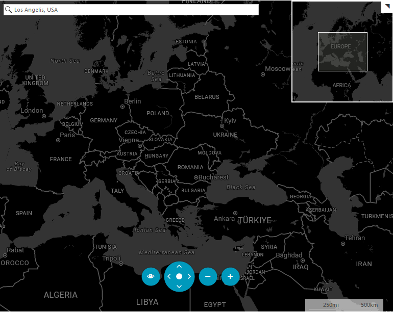
CanvasDark
A dark version of the road maps which provides neutral background with minimal colors, labels and features.
Figure 7: CanvasDark mode